


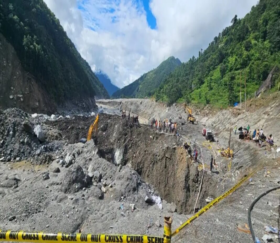
Arunachal Pradesh is witnessing rapid environmental changes across the Eastern Himalayas, accelerating hydrological transformations in India’s northeast frontier. Satellite data reveals that expanding high-altitude lakes in the region face heightened threat levels from potential sudden outburst floods.
Scientists attribute the steady expansion of high-altitude water bodies to rising global temperatures that accelerate glacier retreat and ice melt across mountain ranges. Satellite imagery tracking the region from 1988 to 2020 demonstrates that total lake surface coverage expanded from under eight thousand hectares to over eleven thousand hectares, creating massive reservoirs at dangerous elevations.
Which Regions In Arunachal Face Highest Threat?
Arunachal Pradesh faces concentrated risks from expanding high-altitude lakes, particularly across Upper Dibang Valley, West Kameng, and Tawang districts. Of 127 evaluated lakes, two were classified as high hazard and 36 as medium hazard, as sudden moraine-dam breaches could send torrents of water and sediment downstream.
Disaster management agencies are prioritizing satellite monitoring, automated early-warning sensor networks, and updated evacuation protocols to protect riverbank settlements, farmland, and major hydropower installations.
Understanding glacial retreat remains vital for long-term disaster mitigation. As high-altitude lakes in Arunachal Pradesh continue storing growing volumes of water, continuous monitoring is crucial to safeguard lives and strategic infrastructure across the Brahmaputra basin.
